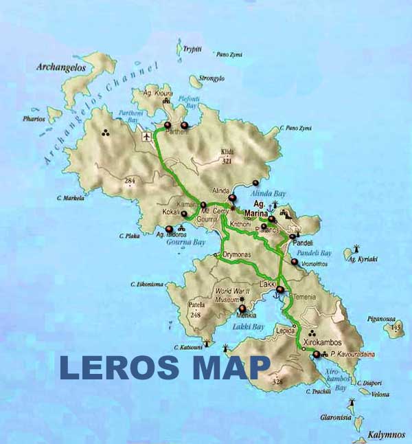
Map of Leros
Leros is a mountainous and green island, with high hills and many small coves and villages. Its area is 53 km2 and it has 71 km of coastline. The municipality includes several uninhabited islets, including Levitha and Kínaros, and the sparsely populated island of Farmakonísi. In the 20112 census it has a population of 8,000, although this figure increases to over 15,000 during the summer period.
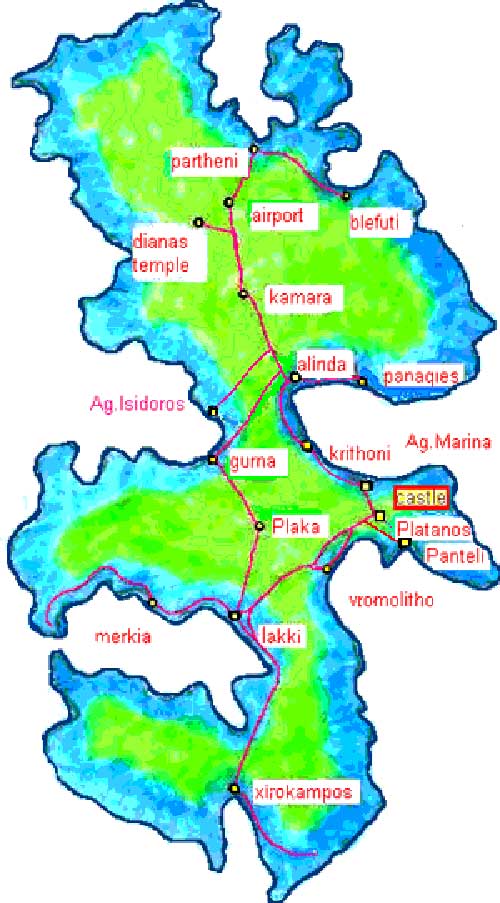
On the map of leros we can see its main ports, Lakkí for ferries (on the west coast) and Agía Marína for catamarans and high speed boats (in the east coast). The main town, Platanos is dominated by a magnificent Byzantine fortress recently restored, enriched with a church The other villages are Aghia Marina Panteli, Xirokambos, Partheni, Álinda, Kamara and Gourna
Location of Leros

HAND MADE MAP OF LEROS


